e

Hampton VA from 1878 Map
While there I was anxious to see some of the area. I had been influenced by and old map of the city that reflected places of interest reflecting African American history. What I wanted to see was part of Old Hampton, which right after the Civil War, was known as Grand Contraband Camp.
I did get to drive through there and to see that nothing remains of "Old Hampton, nor or the Contraband Camp.
So I decided to study the map. Three streets all let to into the camp: Union,Lincoln and Queen. So I studied the streets and I compared those streets to Hampton streets today.

Hampton Today
Map Courtesy of Google Maps
I realized that where the three streets end, formed the beginning of Grand Contraband Camp. So using Street View---I wanted to explore the area and see if there was anything that could have possibly have been there 145-150s ago.
Zooming in on the neighborhood and streets immediately to the west of where the three streets (Union, Lincoln and Queen) ended I took a look around.
It was clearly an old part of the city, but most of the houses were 20th century structures--many from the 1950s and younger. Occasionally an old house would appear on a street standing alone. Did these few old structures arise from the ashes of Grand Contraband, and are these domiciles witnesses to an era gone by?
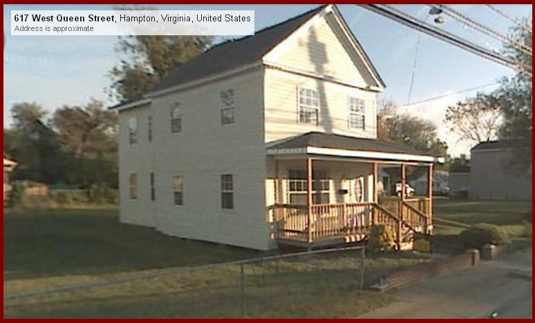
I did occasionally see some shot-gun houses that truly could have had origins in the days of the early 20th century. Could they have once been homes to contrabands? One of my contacts in the area pointed out that this was the old part of the city. She also pointed out that most of the city was burned during the war, and the fires were set intentionally. As I drove through or as I strolled leisurly with Street View, I found so remnants of truly old structures that would whisper the secrets heard in Grand Contraband Camp.
The map pointed me down interesting streets. I did learn that the community that I explored was and is an historically black. Ahh---so there were clues---the clus were in the people themselves! They were the descendants of those who chose to survive---and the faces of color that I encountered were living their lives right there---right on Grand Contraband. The remnants of the past I so wanted to see---were passing me by with a smile or a nod of a nodding of the head!! These are the children of Grand Contraband!! I found the hsitory--the treasure I sought---it was right there among the people!!
I shall continue to explore the area when I get some time, and hope that I shall be able to tell more of the story of Grand Contraband and Beyond.
I can undertake this adventure thankfully by studying maps, employing the technical tools that I need, and by pursuing this quest with vigor. From Grand Contraband, to Haven of Rest--and Arkansas burial site---I only to have look to find the history--it's right there!
1 comment:
Hello, My name is L. Williams and I am a direct descendant of Edward Pleasant who may have been a contraband slave who settled on Lincoln Street. My family is buried in Pleasant Cemetary, which my family still partially owns. For many years several family members lived on Union, Lincoln & Queen Street. Thank you for posting this information, it was a wonderful surprise to find this in my search for family history.
Post a Comment