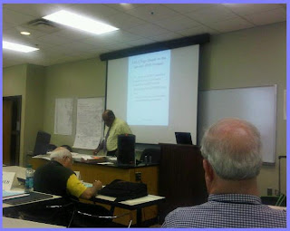
John Lanier Presented Topographical Maps
Today was a full day getting to learn everything about maps and never knew to ask. We began by learning quite a bit about topographical maps. This was a very interesting session as I often thought that topographical maps had little value for those interested in history. But I realize that this was not quite the case! In fact there is a good amount to learn about communities and often about the people by learning about the land where they lived.
Explaining the Features of a Government Made Topographical Map
One interesting "hands on" object was a formerly classified map--now declassified, map of the Soviet Union. The most unusual feature about this map was that it was made of silk. Apparently, the durability of silk made it an excellent material that could also sustain things that paper could not sustain.
Examining the silk map.
A session on Gazetteers, and their value to genealogical research was presented by Malinda Kashuba.
This session was interesting as it covered the issue of place names. (Did you know that there are more than 60 places in the US called Springfield?)
Some wonderful suggestions were given on how to learn the older names of a community---and how to possibly follow the changes in spelling of places. It is important for example to take into consideration spelling variations, as well as vowel and consonant mix ups, such as the I-E/I-Y mix up which can be common thing. And there are variations in place name like those preceded by the word St. (or Saint, or Ste. or San, or Santa). And there is the possibility that an ancestor may have had an accent when naming town or place, and it was written down incorrectly based on what was heard.
Malinda Kashuba Discussing Gazetteers and Place Names.
I have several plat maps in my possession, from both family documents and other documents that I have acquired from the Oklahoma communities that I research. I only have a vague idea of how they actually reflected a community, but Jerry Smith made it much clearer in the session on plat maps. I learned something about meets and bounds but was admittedly pleased that my ancestors lived farther west where the more simplified township plat maps abound. I was surprised that some of the exercises had some practical applications for genealogists. This was much greater than I had expected.
Jerry Smith explaining plat maps
After some time in the computer labs this afternoon, we adjourned for the day, with homework assignments and plenty of new databases to explore online with the information gained from today's sessions.


No comments:
Post a Comment